Building and Roadway Detection (1)

परियोजना अवलोकन
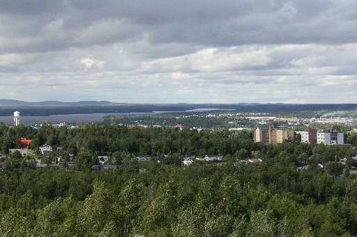
The work of the Canadian Red Cross in our domestic Missing Maps initiative centres around improving the basemap for communities at risk of disaster. In 2023, areas of Val-d'Or were evacuated due to wildfire, a risk increasing year over year. Additionally, this area is heavily reliant on mining and resource extraction, posing potential environmental risks to the surrounding communities. Your contribution to this project will help us identify where buildings and roadways are to better map them for emergency preparedness and response in this region of Québec.
डाटा डाउनलोड गर्नुहोस्
समग्र परिणामहरू
समग्र परिणाम (ज्यामिति संग)
HOT टास्किङ प्रबन्धक ज्यामिति
मध्यम देखि उच्च सम्झौता हो सायद ज्यामिति
समूहहरू
इतिहास
परिणामहरू
कार्यहरू
प्रयोगकर्ताहरू
चासोको क्षेत्र
हाम्रो इजाजत पत्र
यो परियोजना OpenStreetMap समुदाय को एक हिस्सा हो। हाम्रो लक्ष्य भनेको उच्च गुणस्तरको भौगोलिक डाटा, स्वतन्त्र रूपमा पहुँचयोग्य र सबैका लागि उपलब्ध बनाउने हो। OSM को पारस्परिक इजाजतपत्रले OSM मा फिर्ता साझेदारी नगर्ने सेवाहरू द्वारा डाटालाई विनियोजित हुनबाट सुरक्षित राख्छ।
MapSwipe "उदार" गैर-पारस्परिक लाइसेन्स (क्रिएटिभ कमन्स एट्रिब्युशन) अन्तर्गत जारी गरिएको छ। जब तपाइँ डाटा प्रयोग गर्नुहुन्छ, MapSwipe योगदानकर्ताहरूलाई श्रॆयअवश्य दिनुहोला।
