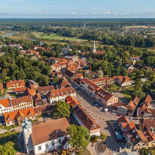
Buildings in Nyasubi Ward (1)

परियोजना अवलोकन
Mapping buildings is a crucial step toward building sustainable cities and ensuring that every community is represented on the map. By accurately identifying and documenting structures, urban planners and policymakers can better allocate resources, manage infrastructure, and design interventions that promote sustainable development. For example, mapping efforts can help improve access to essential services like water, electricity, and sanitation while fostering resilience to climate change. Additionally, mapping wards and other administrative units ensures that even remote or underserved areas are visible and included in development initiatives, empowering communities and enhancing their capacity to contribute to broader sustainable goals.
डाटा डाउनलोड गर्नुहोस्
समग्र परिणामहरू
समग्र परिणाम (ज्यामिति संग)
HOT टास्किङ प्रबन्धक ज्यामिति
मध्यम देखि उच्च सम्झौता हो सायद ज्यामिति
समूहहरू
इतिहास
परिणामहरू
कार्यहरू
प्रयोगकर्ताहरू
चासोको क्षेत्र
हाम्रो इजाजत पत्र
यो परियोजना OpenStreetMap समुदाय को एक हिस्सा हो। हाम्रो लक्ष्य भनेको उच्च गुणस्तरको भौगोलिक डाटा, स्वतन्त्र रूपमा पहुँचयोग्य र सबैका लागि उपलब्ध बनाउने हो। OSM को पारस्परिक इजाजतपत्रले OSM मा फिर्ता साझेदारी नगर्ने सेवाहरू द्वारा डाटालाई विनियोजित हुनबाट सुरक्षित राख्छ।
MapSwipe "उदार" गैर-पारस्परिक लाइसेन्स (क्रिएटिभ कमन्स एट्रिब्युशन) अन्तर्गत जारी गरिएको छ। जब तपाइँ डाटा प्रयोग गर्नुहुन्छ, MapSwipe योगदानकर्ताहरूलाई श्रॆयअवश्य दिनुहोला।
