Find - Buildings in Kudat Town, Sabah (1)
परियोजना अवलोकन
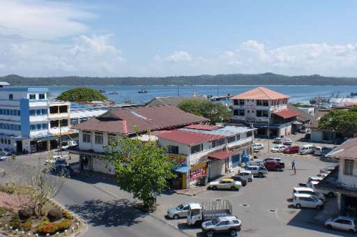
Kudat Town, located along Sabah's northern coast, is on the frontlines of climate change. The town faces growing threats from rising sea levels, coastal erosion, and extreme weather events, which put its communities and ecosystems at risk. Accurate and detailed mapping is essential for understanding these vulnerabilities and supporting climate action. This project leverages the power of community mapping to identify building footprints in Kudat using MapSwipe. By utilizing this user-friendly tool, volunteers can quickly and efficiently identify areas with buildings, providing a solid foundation for more detailed mapping efforts. Once the initial mapping is complete, buildings within the identified areas will be traced using the HOT Tasking Manager to improve data for climate resilience planning. The collected data will aid in disaster risk reduction, adaptive infrastructure design, and sustainable coastal management, empowering local communities to better prepare for and respond to climate challenges.
डाटा डाउनलोड गर्नुहोस्
समग्र परिणामहरू
समग्र परिणाम (ज्यामिति संग)
HOT टास्किङ प्रबन्धक ज्यामिति
मध्यम देखि उच्च सम्झौता हो सायद ज्यामिति
समूहहरू
इतिहास
परिणामहरू
कार्यहरू
प्रयोगकर्ताहरू
चासोको क्षेत्र
हाम्रो इजाजत पत्र
यो परियोजना OpenStreetMap समुदाय को एक हिस्सा हो। हाम्रो लक्ष्य भनेको उच्च गुणस्तरको भौगोलिक डाटा, स्वतन्त्र रूपमा पहुँचयोग्य र सबैका लागि उपलब्ध बनाउने हो। OSM को पारस्परिक इजाजतपत्रले OSM मा फिर्ता साझेदारी नगर्ने सेवाहरू द्वारा डाटालाई विनियोजित हुनबाट सुरक्षित राख्छ।
MapSwipe "उदार" गैर-पारस्परिक लाइसेन्स (क्रिएटिभ कमन्स एट्रिब्युशन) अन्तर्गत जारी गरिएको छ। जब तपाइँ डाटा प्रयोग गर्नुहुन्छ, MapSwipe योगदानकर्ताहरूलाई श्रॆयअवश्य दिनुहोला।